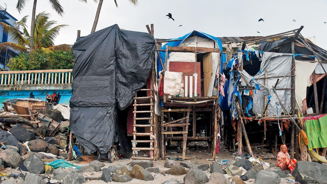
The Brihanmumbai Municipal Corporation (BMC) has initiated a project for 3D mapping of the city, aimed at addressing issues related to encroachment, city planning, and disaster management. In 2021, the BMC conducted a pilot project for 3D mapping covering 10 square kilometres in Worli. On Friday, the BMC commenced 3D mapping for the entire city, encompassing a 500 square kilometre area of Mumbai. Additional Municipal Commissioner Ashwini Bhide inaugurated the project on Friday, saying, “We will utilise artificial intelligence to ensure more accurate results.”
Sharad Ughade, director of the BMC Information and Technology Department, emphasised that comprehensive digital mapping of the city would facilitate precise urban planning, development of essential amenities, and the identification and removal of encroachments, along with enhanced disaster management capabilities.
The mapping will also enable the classification of building types according to their usage, detailed infrastructure planning for roads, bridges, and flyovers, and comparison of alternative infrastructure designs. By overlaying the proposed project’s 3D model onto the existing city model, BMC aims to accurately identify project-affected individuals. Additionally, the 3D map will assist civic bodies in monitoring and managing urban flooding. The overarching goal of the project is to provide a detailed and comprehensive overview of the city’s landscape to facilitate precise planning and decision-making, the official said.
2021
Year BMC conducted pilot project
#BMC #launches #ambitious #mapping #project #revolutionise #urban #planning